

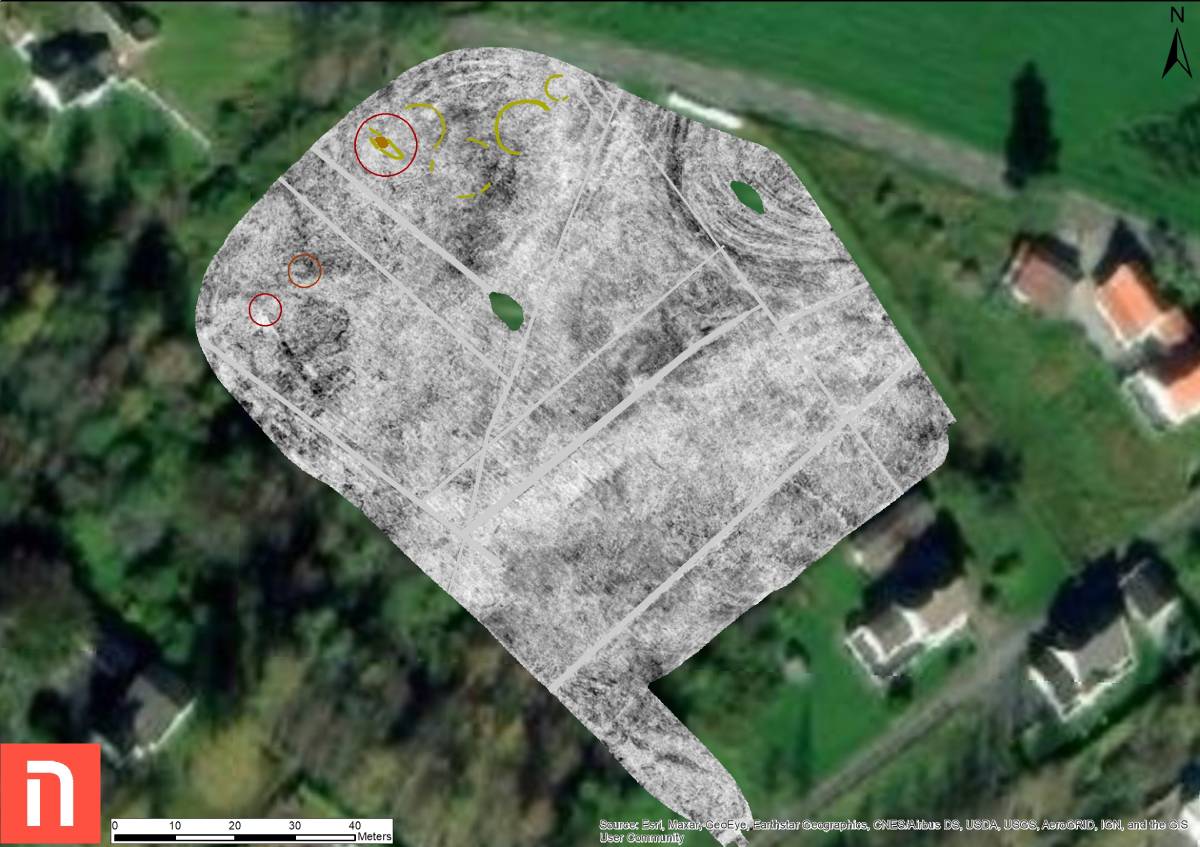
By using geo-radar technology, they identified the southernmost part of a large burial ground and the remains of multiple burial mounds.
The most interesting find at the time? A ship grave from the Viking Age.
Project background
The research, which used modern technology to uncover what may have been preserved underground of the burial grounds, takes place within the project "Archeology on new roads," managed by the National Heritage Board and Nye Veier AS.
The Norwegian Institute for Cultural Heritage Research (NIKU) has been responsible for the study, which is part of the preparatory work for the new E39 through Kvinesdal.
In order to find out more details about the exciting find, The Viking Herald reached out to NIKU archaeologist Jani Causevic.
The boat graves represent a special burial custom that existed in the Viking Age in many coastal settlements, both in and outside Norway's borders. Photo: Jani Causevic / The Norwegian Institute for Cultural Heritage Research
TVH: Your team recently discovered a Viking boat grave and burial mounds in Norway. Could you tell us if excavations are planned at the identified sites? If so, what are your expectations?
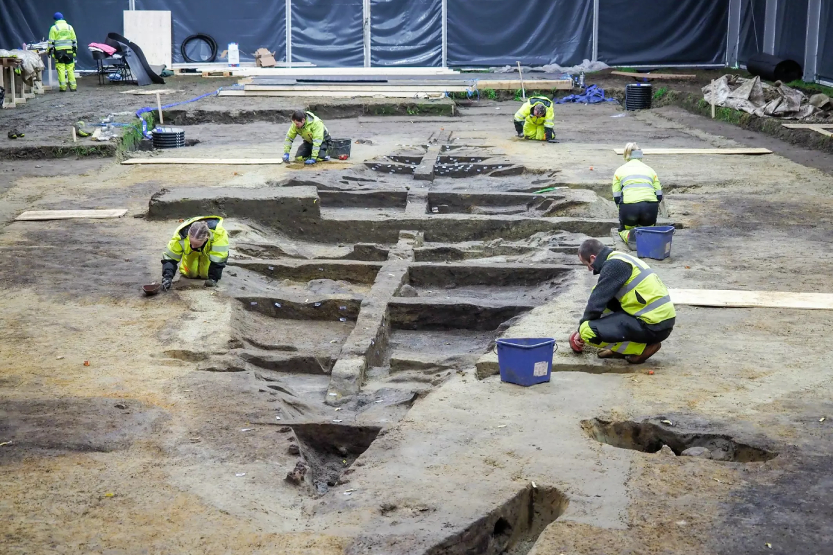
JC: As far as I know, they have no plan to excavate the boat due to the probable route of the road construction. If they decide to construct the road over the identified site, they will probably excavate it. If they decide to excavate it, I expect not much of the boat remains. The soil in the area is not preferable for the conservation of organic materials. Most likely, only the nails and other metallic objects remain.
TVH: In recent months, it seems that Viking Age discoveries are often followed by talk of geo-radar technology. Could you kindly explain to our readers how the said technology works?
JC: The motorized geo-radar system can be compared to an echo sounder that sends a signal down the ground with a reflex. Based on these signals, archaeologists map out areas that stand out from their surroundings – so-called anomalies. An anomaly is simply something that differs from what lies around.
TVH: In your opinion, what are the most exciting opportunities that this technology offers when it comes to archeology?
JC: In my opinion, it is the ability to explore and document archaeology with a non-invasive method. It adds another tool to our toolbox to explore and document archaeology.
TVH: Are there any current or planned radar surveys that you are working on?
JC: In late summer/early autumn, we are going back to Gjellestad (where we found the Viking ship in 2018) to explore the surrounding area. We hope to better understand the role of power centers in the creation, consolidation, and maintenance of collective identities, politics, and kingdoms in first-millennium Scandinavia.
Previous Gjellestad finds
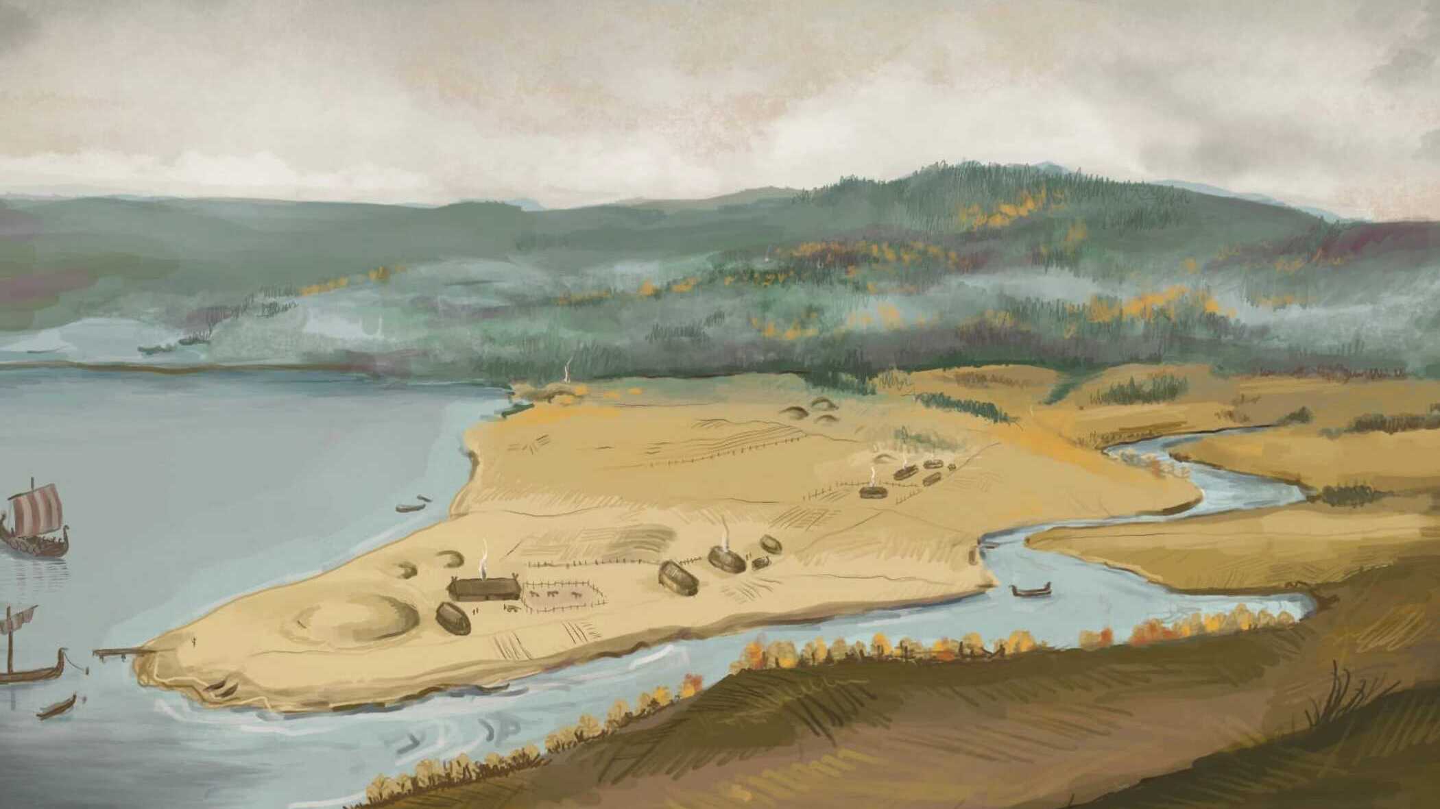
Since 2015, a number of discoveries of prehistoric objects have been made in Gjellestad through metal detecting, according to the Museum of Cultural History. In 2017, the former Østfold County Council conducted a survey and uncovered traces of four burial mounds destroyed by plowing as well as packing stones interpreted as a grave.
Several post holes and a fireplace were also uncovered. Geo-radar surveys in 2018 and 2019 revealed the ship burial but also the remains of 15 burial mounds destroyed by plowing and post holes from at least five houses.
Datings from the 2019 test surveys showed that the oldest traces of human activity at the site dates back to the Bronze Age (1800-500 BC), while the majority of the post holes are from the migration period.
We get to provide readers with original coverage thanks to our loyal supporters. Do you enjoy our work? You can become a PATRON here or via our Patreon page. You'll get access to exclusive content and early access.
Feel free to reach out to discuss potential stories that may be in the public interest. You can reach us via email at hello@thevikingherald.com with the understanding that the information you provide might be used in our reporting and stories.